The South West Coast Path - Part 1
And I was off! Heading in the car towards Minehead with a still too-heavy pack, I decided to start my trip right at the beginning again. In February I’d hiked approximately 100 miles of the coast path so in some ways I could skip it and start where I left off, but that just didn’t feel right. I wanted to know what it would be like to go all the way in one shot; so to Minehead I went.
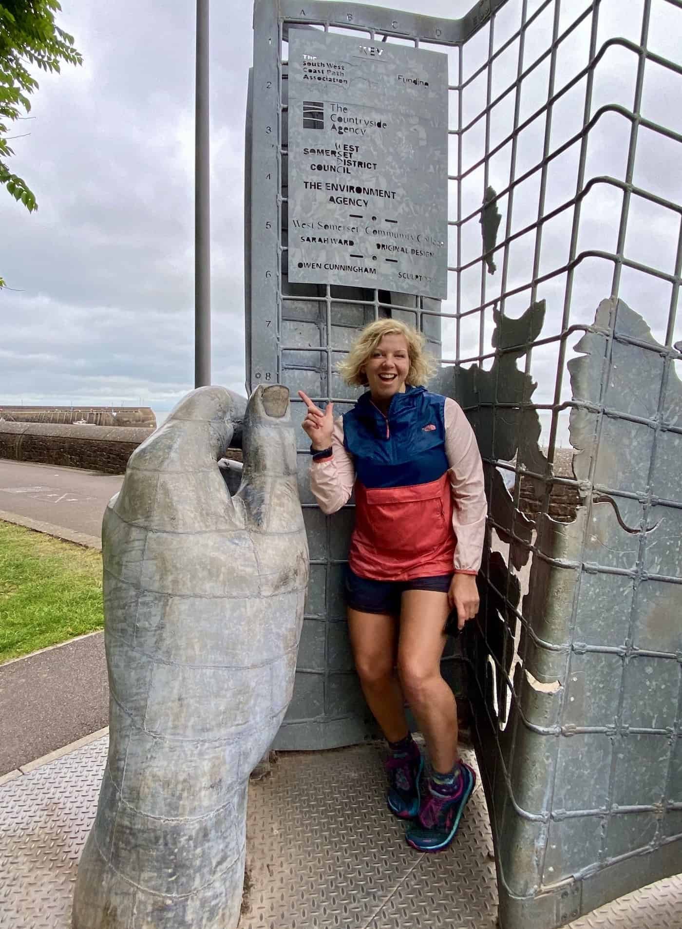
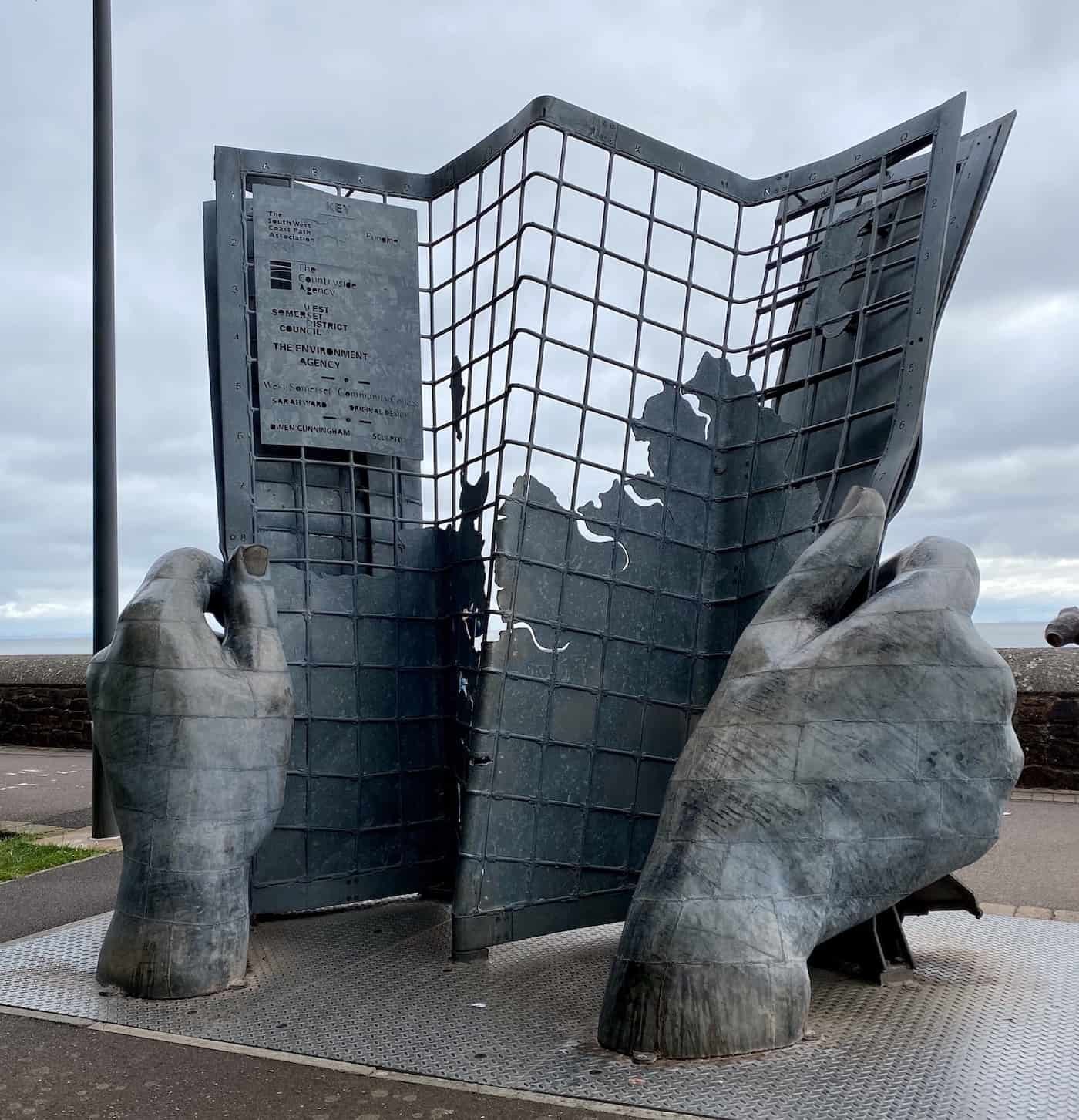
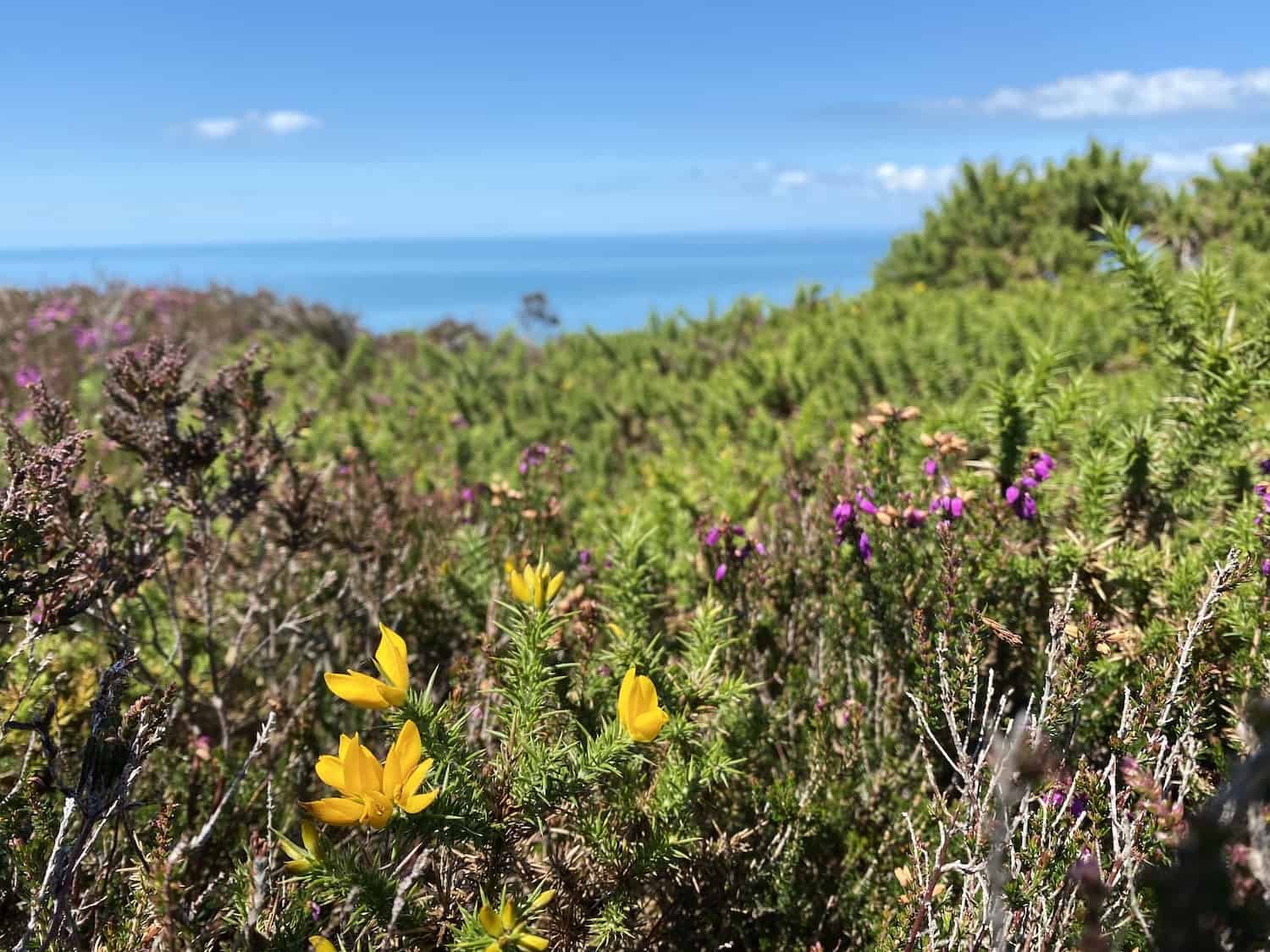
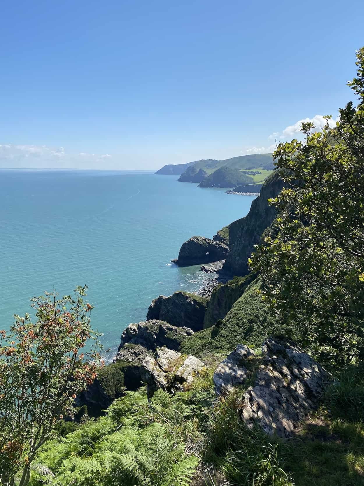
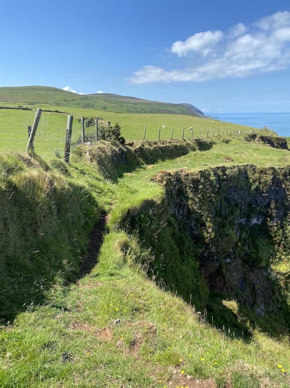
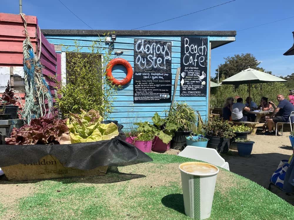
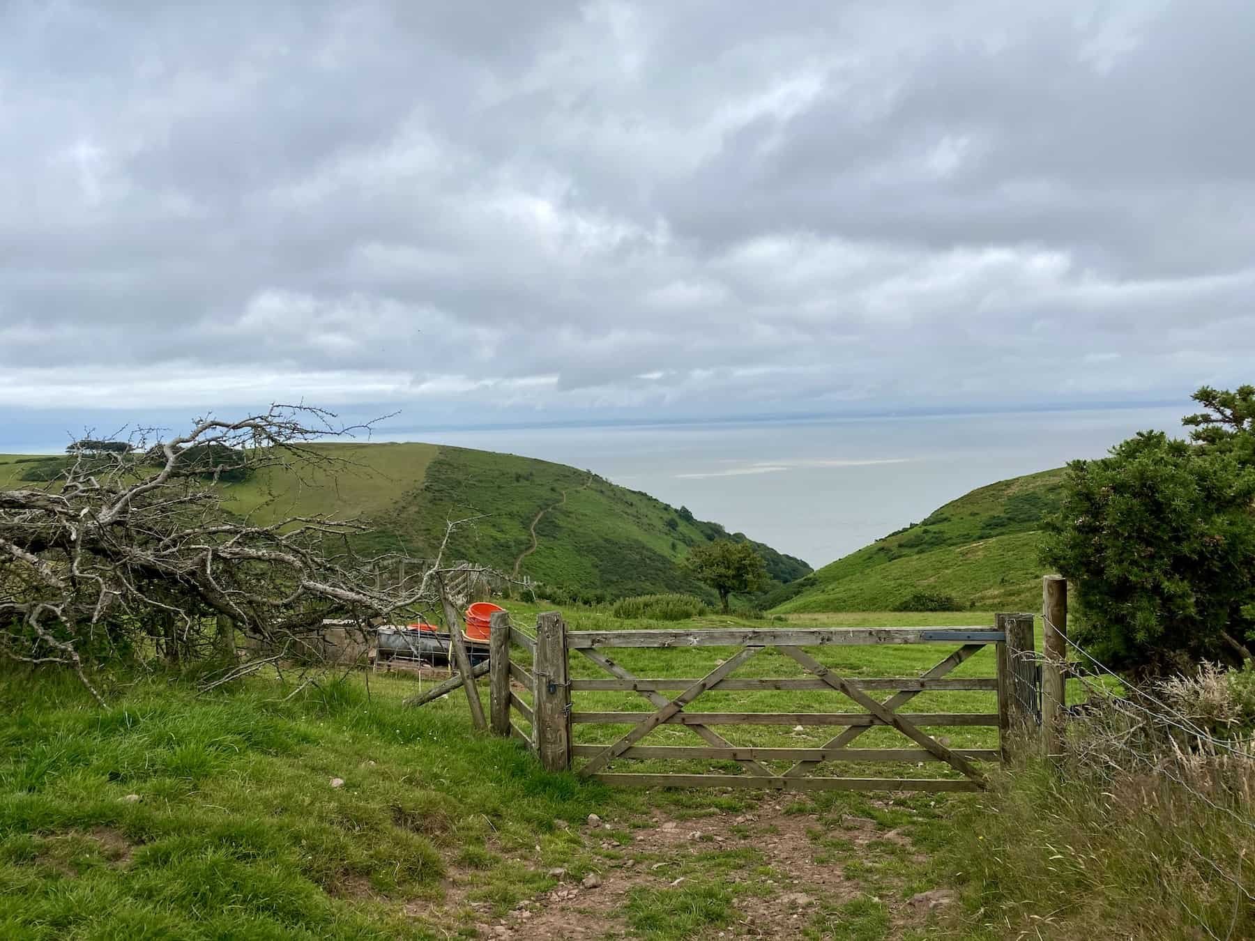
I was a little worried that I wouldn’t be able to get on campsites because many were closed due to COVID, or open only to people staying in their own camper-vans. Luckily a farmer had room in his fields and I stayed on a campsite just outside of town so that I could use it for two nights in a row and get a ride there from the trailhead. The start was beautiful - a glorious day as I hiked out of Minehead and over the tops of the hills looking down on the the dark pebbly beaches far below. This is a really rewarding stretch of hiking; through forested areas and woods, across meadows, fields and beaches. I had a socially distanced breakfast in a lovely cafe in Porlock - a welcoming and pretty village really worth a visit. Then it was an ankle wobbling trip across large precarious beach pebbles to Porlock Weir, and up up up again to the tops.

I didn’t see many people, despite it being right at the start of the SWCP. The people I did see were mainly local and happy to chat about being on the trail, offering me some good advice about lodgings and food down the line. Passing copious sheep, cows and plenty of seabirds I ended the day in the gorgeous harbour village of Lynmouth, connected by a tiny cliff funicular to the upper village of Lynton. Two large rivers come down the valley and join the sea at Lynmouth, sadly flooding it in 1952 and destroying 100 homes in the tiny community as well as taking 32 lives.

As I walked up and away the next morning I looked back and was again awed not just by the sea, but the power of nature in general. My tent was soaking wet from a hideous downpour the night before and I felt it weighing me down. I swore to do something with it as soon as the sun returned. Whilst wondering when that might happen, I headed out of the stunning Valley of Rocks and walked past Lee Abbey, a very grand and beautiful complex which now hosts conferences and training for the Christian community. Its fields and private land that I hiked past were beautifully kept and maintained, and I found myself grateful that all the land was in private hands so that it had remained unspoiled for so many hundreds of years.
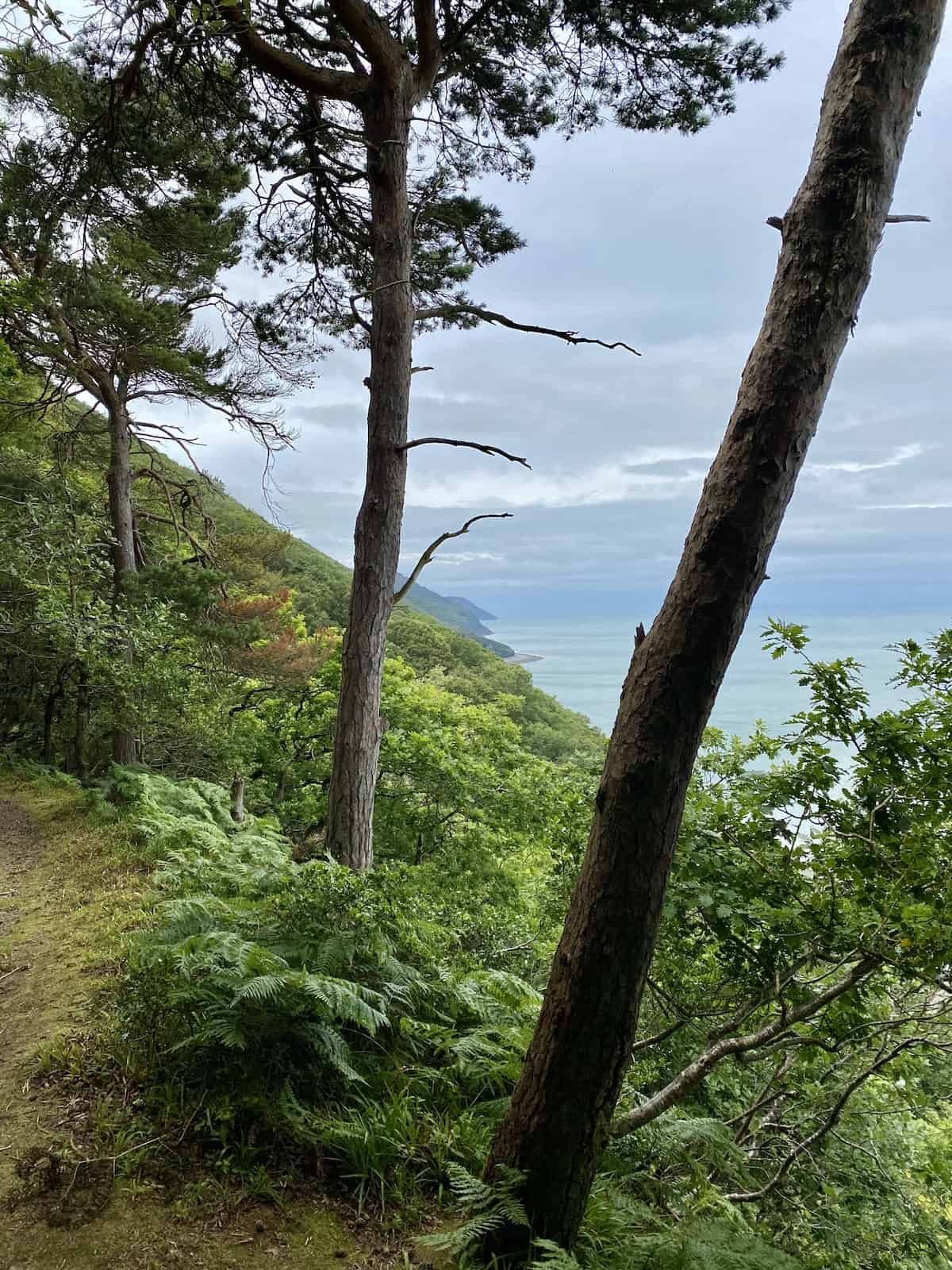
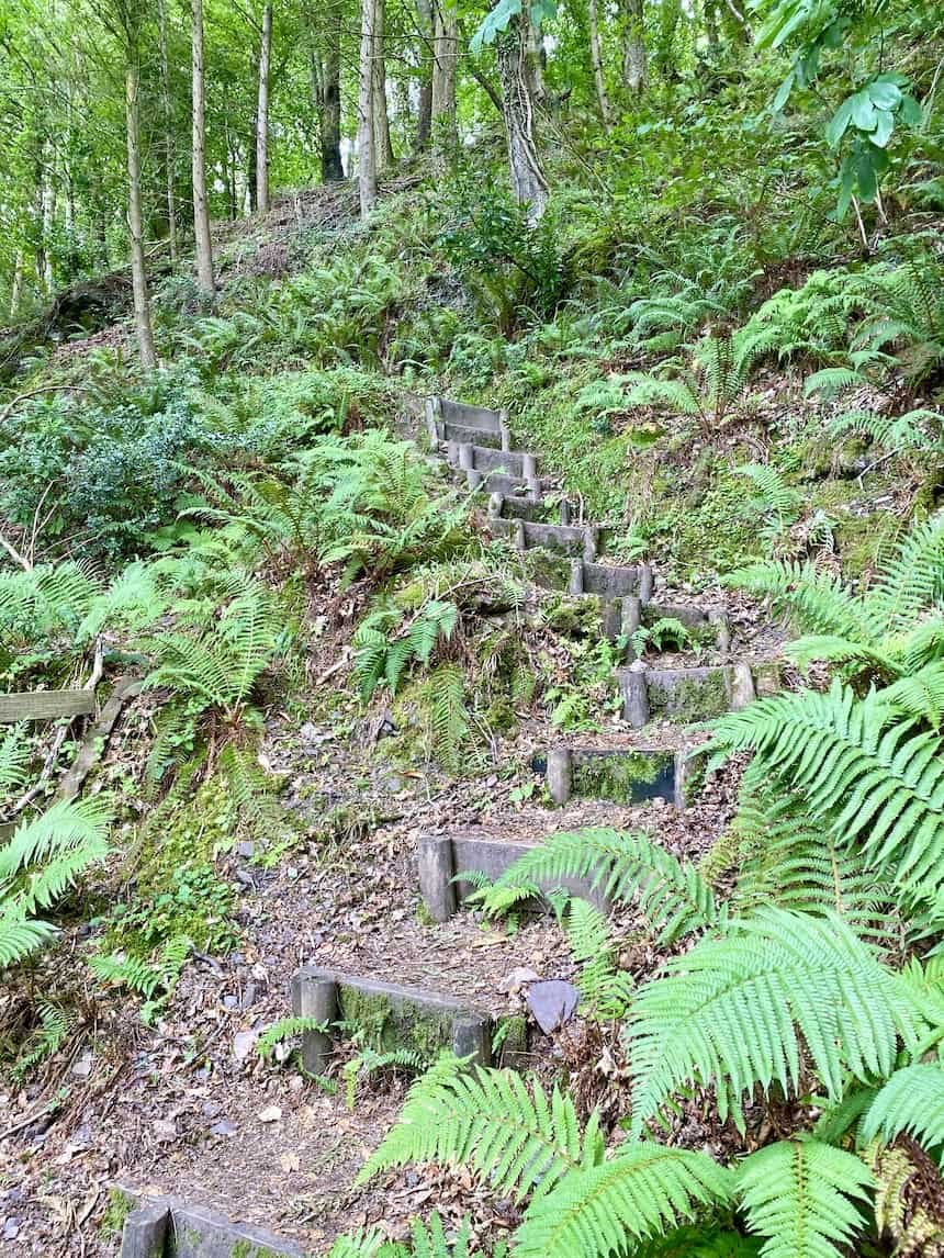
Knowing the steep sides of Heddon Valley lay ahead of me, I loaded up and snacks and soldiered on; happy to get it done and behind me. I’d hiked 22 miles on my first day, and my legs were definitely feeling the burn! I chatted to a fellow hiker I met at the river at the bottom, and then left him to his snacks and headed up. I was sliding and slipping on the shale trail surface initially, with my heavier pack making me tired. Halfway up the sun split the clouds and I thought ‘Ahh, what the heck’ and sat myself down, pulling my sopping wet tent from the top of my bag. Hanging it delicately over ferns and branches, I let the ultralight fabric do it’s ‘quick dry’ thing and I basked in the rays. I was going to be in Ilfracombe by the end of the day and I knew it was going to be hard, because there was another killer incline after this one. I didn’t begrudge myself a break.


Ilfracombe was a welcome sight, and I stayed in a well organised backpackers that managed to follow all the COVID rules. Then, the next morning, this semi-experienced hiker got totally lost trying to get out of town on the coast path. Ha! I was totally in circles. Eventually I emerged and hit high cliffs and views that took my breath away, with Bull Point being a highlight. As I descended into Woolacombe I couldn’t believe my eyes - absolutely rammed!! People everywhere not social distancing in order to stream across the road from the beach car park to get to empty sand first. There was a stream of humanity five people wide that continued the whole time I passed through. I was glad to be up and out the other side! After the peace and tranquility of the cliffs it’s hard to enjoy the hectic beach town scenes.
That night I stayed in a secret spot campsite in Braunton, where the couple running it had hidden all their signage because they didn’t want many guests. Ha! I’m so glad I found it. The next morning I took a little detour to Braunton Great Field - it’s HUGE! It’s the second largest open field still left in England, and remains exactly as it was in Medieval times when it would have been farmed in hundreds of strips by countless different families. It’s now farmed by about 5 different farmers, but it’s protected and no one can put up hedges or fences, or build over it. At the size of about 23 football fields it was magnificent to hike across, and feel the scale of that open land.

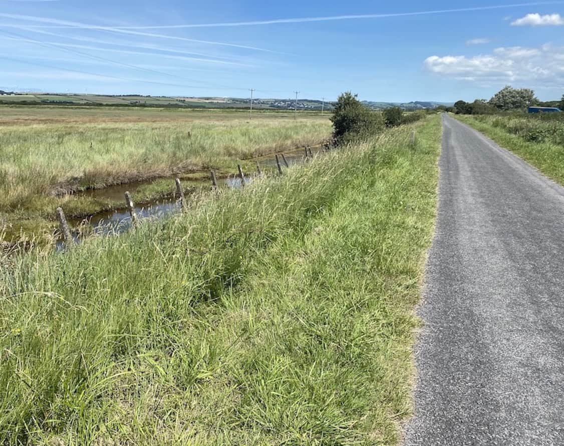
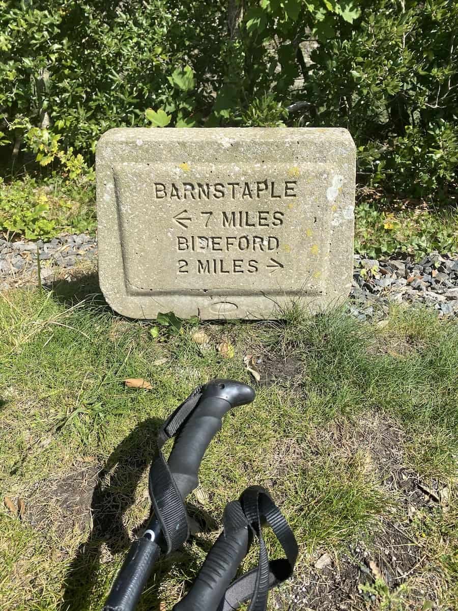
My final day for this week was on the Tarka Trail; up the estuary to Barnstable and down the other side to Bideford. It used to be a railway but is now tarmacked, so I beat up and down the flat hard road for 20 miles in the scorching sun until I finally got to get a shower and lie down. Ooh it hurt my feet! But later, rested at a local hotel and with a full tummy, I was ready to hit the road towards Appledore the next day.
